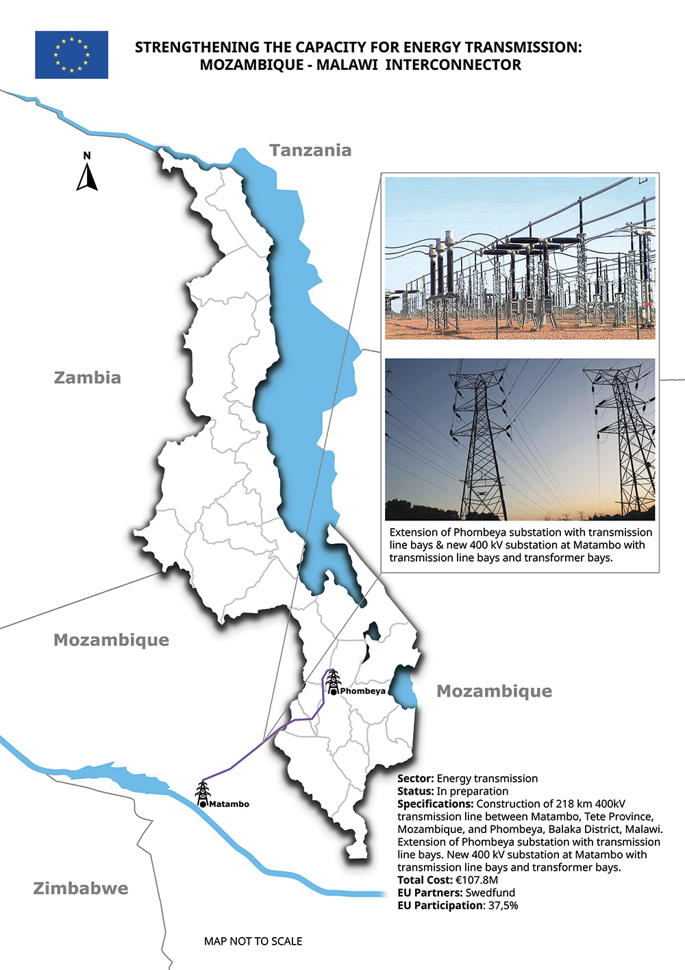
Here is a map I designed for the European Union Delegation for the project of “Strengthening the Capacity for Energy Transmission in Malawi”, funded by the European Union, focusing on power interconnection between Malawi and Mozambique.I received from the client a word document with all details about the project, with 2 photos of the extension of Phombeya substation at Matambo. I used this document to create the map.
I fully designed the map of Malawi with districts using Adobe Illustrator, added the lake, the neighbouring countries, EU flag in the header, the photos and all the features of the project.
I converted the map into a vector print-ready file before submitting it to the E.U.
The map was printed and displayed among others as a banner at the EU Day on 9th May 2023 in Lilongwe.


I designed this map for the European Union Delegation for the project “EU-Malawi Investing in Interconnectivity”, funded by the European Union, investing in infrastructure such as roads, airports rehab and international flights development.I received from the client a word document with all details about the project, and I used this information to create the map.
I fully designed the map of Malawi with districts using Adobe Illustrator, added the lake, the neighbouring countries, EU flag in the header, I draw the M1 road, Nacala road corridor, the flight pathes and added all other features of the project.
I converted the map into a vector print-ready file before submitting it to the E.U.
The map was printed and displayed among others as a banner at the EU Day on 9th May 2023 in Lilongwe.


